
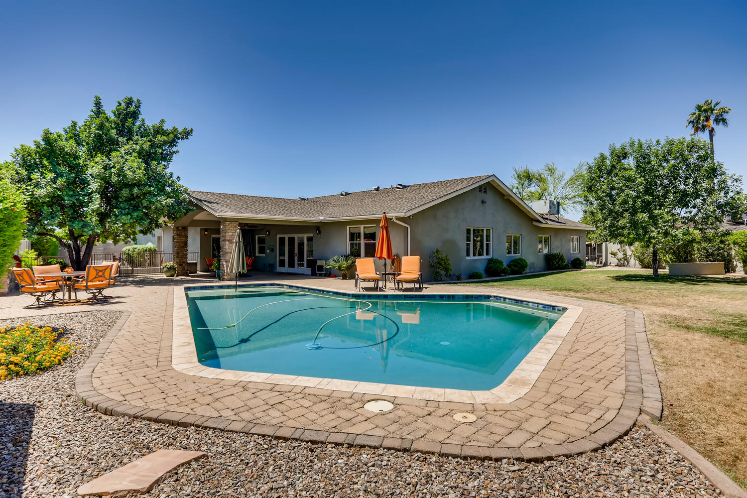
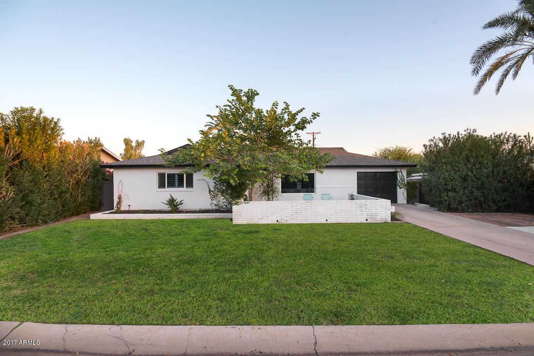
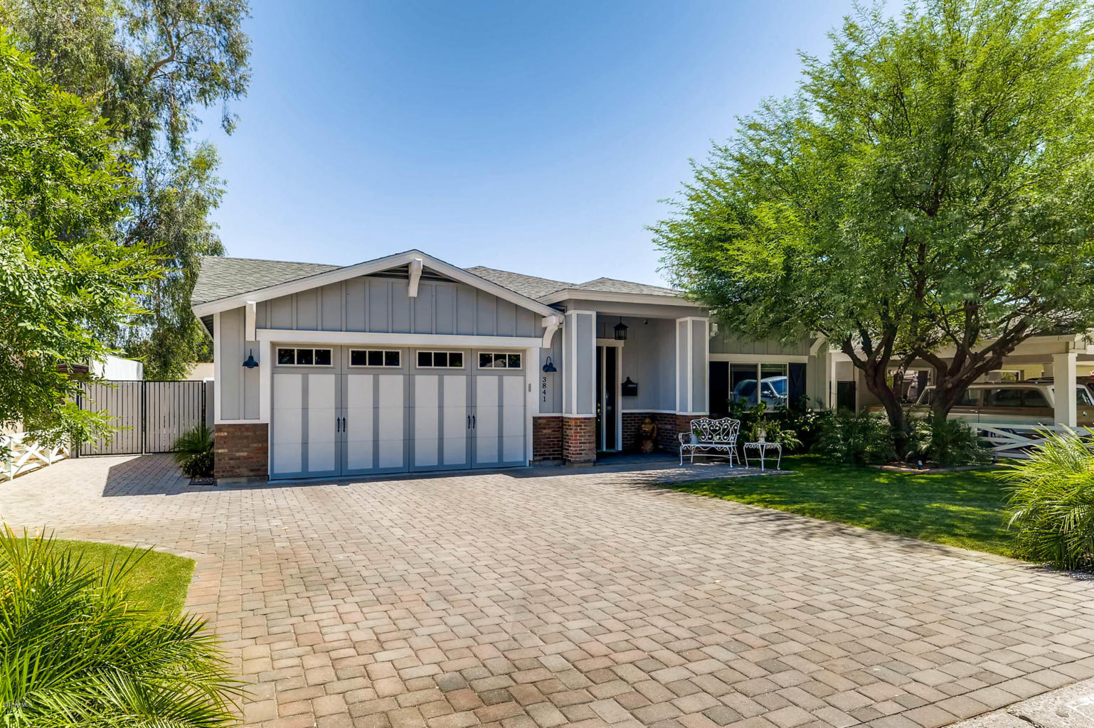
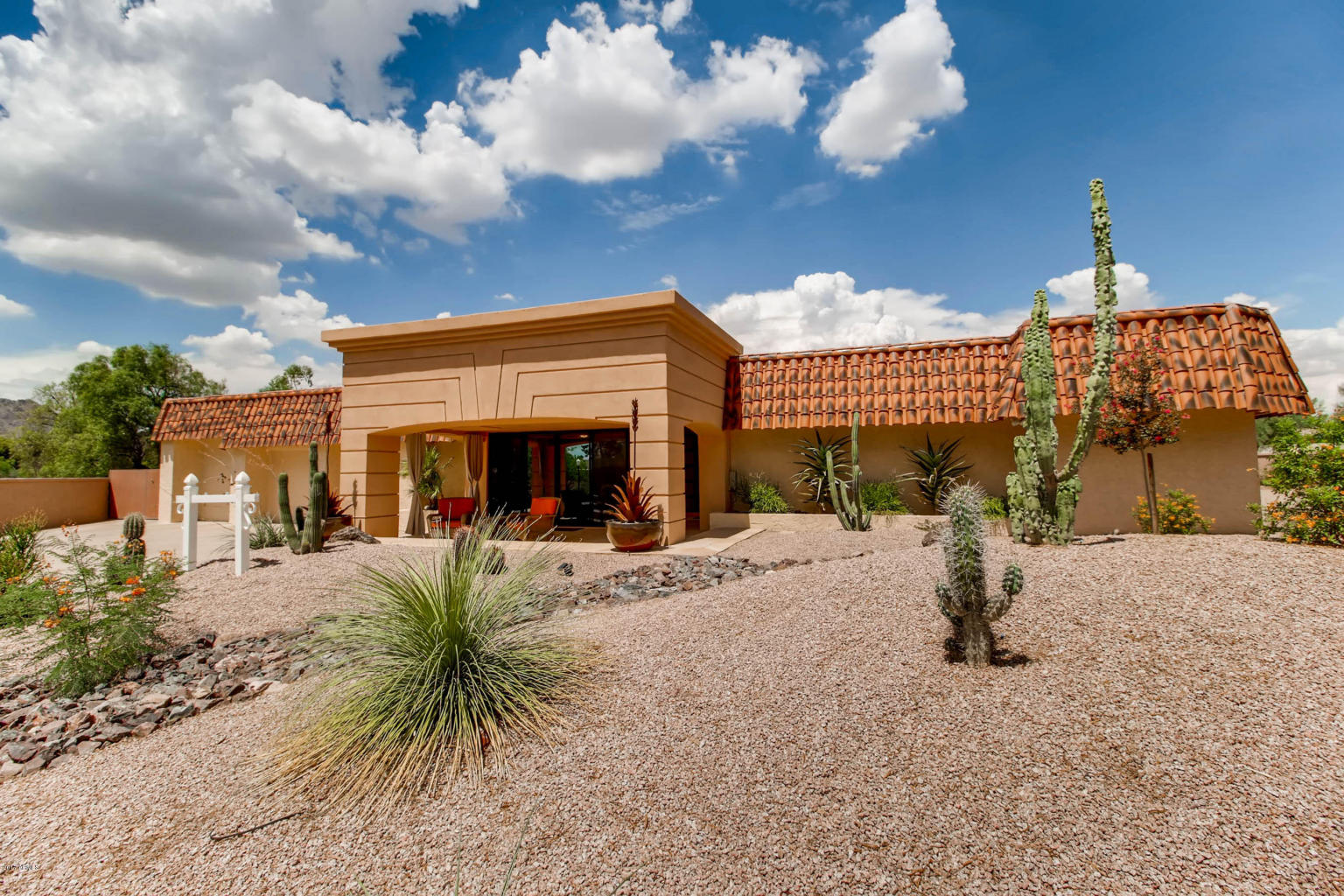

Phoenix Historic Districts
There are 35 Historic Districts in Phoenix, each with their own distinguishing characteristics. Prices can range greatly between them. The links below will bring up a map of the exact area described with brief descriptions. For more details drop us an email, or allow us to set up a customized search for you!
Alvarado
Located along the intersection of Monte Vista and Alvarado roads, extending north to the Oak Street alignment, east to Third Street and south towards Palm Lane. A beautiful small intimate historic neighborhood in Midtown Phoenix
November 1992 (Period of Significance: 1907-1933)
Ashland Place
Generally located along Hoover, Vernon and Ashland avenues between Central Avenue and Third Street.
May 1992; boundary expansion January 2003 (Period of Significance: 1920-1940). Beautiful, well maintained, and in the urban core.
Brentwood
Generally bounded by 16th to 20th streets, Culver Street and the alley north of Brill Street.
April 2003 (Period of Significance: 1926-1956)
Campus Vista
Generally bounded by Thomas and Osborn roads, Seventh and 15th avenues.
April 2003 (Period of Significance: 1939-1956). An eclectic charming historic community next to Phoenix College.
Cheery Lynn
Bounded by Flower Street, Earll Drive, 16th Street and Randolph Road.
February 1994 (Period of Significance: 1928-1945). Quaint, distinctive and charming neighborhood.
Coronado
Generally bounded by Seventh to 14th streets, Virginia Avenue and the alley north of McDowell Road.
November 1986; boundary adjustment January 2000
(Period of Significance: 1907-1942). A large (714 properties on 2,600 acres) quirky, exciting, vibrant and eclectic neighborhood in urban Phoenix. Great walkability and near lightrail.
Country Club Park
Generally bounded by Thomas Road, Virginia Avenue, Dayton Street and the alley west of Eighth Street.
January 1993 (Period of Significance: 1939-1946). A park, curvilinear streets, single story homes, wide streets, a great history and a superb location are what make Country Club Park a great place. Gas lamps and the roundabout make this a very clean neighborhood.
Del Norte Place
Bounded by Virginia Avenue, Encanto Boulevard, 15th and 17th avenues.
July 1993 (Period of Significance: 1927-1945). A beautiful historic neighborhood in the Encanto Park area with a deep vivid history that continues to live on as the city evolves.
Earll Place
Generally located along Earll Drive and the north side of Pinchot Avenue between 16th and 18th streets.
April 2003 (Period of Significance: 1927-1942). A small quaint historic district of 41 bungalow and revival homes spread out on large lots with lots of open space.
East Alvarado
Generally located along Alvarado Road between Third and Seventh streets.
May 1992 (Period of Significance: 1929-1942)
East Evergreen
Generally bounded by Third and Seventh streets, McDowell Road and the alley south of Willetta Street.
November 1999 (Period of Significance: 1909-1929). A small urban historic district near parks and the urban core, it’s both quiet, charming.
Encanto-Palmcroft
Generally bounded by Seventh to 15th avenues, McDowell Road and the northern boundary of Encanto Park and Golf Course.
March 1987; boundary expansions June 1999, September 2005 (Period of Significance: 1920-1952). Larger stately revival homes, lush large green lawns. Long considered an upscale, exclusive area both now and in its original days.
Encanto Manor
Generally bounded by Thomas Road and Windsor, Seventh and 15th avenues.
February 2006 (Period of Significance: 1945-1959). Encanto Manor: One of the smaller historic districts in Phoenix: it has charming solid ranch homes and the urban landscape around it.
Encanto Vista
Bounded by Windsor Avenue, Encanto Boulevard, Seventh and Eighth avenues.
April 2003 (Period of Significance: 1943-1953)
Fairview Place
Bounded by McDowell Road, Encanto Boulevard, 15th Avenue and the alley west of 17th Avenue.
February 1994 (Period of Significance: 1928-1948). Modest homes on small lots, but bursting with quality, unique character and a great location: urban setting and suburban feel.
F.Q. Story
Generally bounded by McDowell Road, Roosevelt Street, Seventh and 17th avenues.
March 1988; boundary adjustments March 2000, January 2004 (Period of Significance: 1921-1942). A beautiful historic neighborhood with storybook homes and an urban lifestyle. Lightrail just down the street!
Garfield
Generally bounded by Roosevelt, Van Buren, Seventh and 16th streets.
April 1989 (as Victoria Place Historic District); December 2001 (as Dennis Addition Historic District); December 2002 (as Garfield Place Historic District); district consolidation, expansion and name change February 2005; boundary adjustment November 2005 (Period of Significance: 1883-1942)
Idylwilde Park
Bounded by 11th and 12th streets, Weldon and Fairmount avenues.
June 1991 (Period of Significance: 1928-1941). Idylwilde’s unique concept remains a staple: a three-acre park with usage and park ownership. The home’s backyards border the park, shielding it from outsiders.
La Hacienda
Generally located along Verde Lane and Catalina Drive between Third and Seventh streets.
April 2003 (Period of Significance: 1926-1954). A beautiful small neighborhood with immense character and lots of Spanish influenced architecture.
Los Olivos
Generally located along Monte Vista Road between Third and Seventh streets.
December 2003 (Period of Significance: 1906-1935). A historic prestigious neighborhood in Midtown Phoenix.
Margarita Place
Bounded by Thomas Road, Windsor Avenue, 15th and 16th avenues.
October 1999 (Period of Significance: 1927-1949) Great revival homes and surrounded by both Encanto Park and Encanto Golf Course.
Medlock Place
Generally bounded by Seventh and Missouri avenues, the alley west of Central Avenue and the alley south of Pasadena Avenue.
April 2003 (Period of Significance: 1926-1956). The original Phoenix suburb is now a Central Phoenix urban gem. Uptown area with lightrail right in your backyard.
North Encanto
Generally bounded by Osborn Road, Thomas Road, 15th Avenue and the alley west of 18th Avenue.
December 2002 (Period of Significance: 1939-1950). A newer historic neighborhood in the Encanto Park area with beautiful ranch homes.
North Garfield
Generally bounded by Interstate 10, Roosevelt Street, Seventh Place and 16th Street.
June 1997 (as Diamond Street Historic District); December 2002 (as Moreland Street Historic District); district consolidation, expansion and name change February 2005 (Period of Significance: 1887-1942)
Oakland
Generally bounded by Grand Avenue, 19th Avenue, Van Buren Street and the alley north of Fillmore Street.
September 1988; boundary expansion June 2006 (Period of Significance: 1887-1951)
Phoenix Homesteads
Consists of two irregular shaped areas situated north of Thomas Road, south of Osborn Road, between 26th and 28th streets.
January 1990 (Period of Significance: 1935-1937) larger lots with mature trees in the center of the city.
Pierson Place
Generally bounded by Camelback Road, Grand Canal, Central and Seventh avenues.
November 2005 (Period of Significance: 1924-1956). A recent addition to the Phoenix historic neighborhood register in Midtown Phoenix: Again, lightrail within blocks!
Roosevelt
Generally bounded by McDowell Road, Fillmore Street, Central Avenue and Seventh Avenue.
September 1986; boundary adjustments October 1991,
December 1997, November 2004 (Period of Significance: 1895-1930). The first historic neighborhood in Phoenix is an urban paradise of beautiful architecture, culture and food. Nestled right in Downtown Phoenix.
Roosevelt Park
Generally bounded by Seventh and Ninth streets, Old Southern Avenue and the alley north of Southern Avenue.
March 2003 (Period of Significance 1924-1942).
Villa Verde
Bounded by 19th and 20th avenues, the alley north of Monte Vista Road and the alley south of Granada Road.
January 1999 (Period of Significance: 1928-1940).
Willo
Generally bounded by First and Seventh avenues, McDowell Road and the alley north of Edgemont Avenue.
July 1990; boundary expansion June 2006 (Period of Significance: 1910-1950). By far the most popular of the Historic Districts with a tight knit community feel. Walking distance to lightrail, downtown, shopping, nightlife, and more. Wide price ranges from the low $200’s to near $1,000,000 depending on size and renovations.
Windsor Square
Generally bounded by Central Avenue, Seventh Street, Camelback Road and the alley north of Oregon Avenue.
July 1996 (Period of Significance: 1912-1945). Between North Central and Downtown, this is a VERY popular neighborhood and so many nearby amenities, shops, restaurants, and lightrail it is entirely possible to never have to drive!
Woodland
Generally bounded by Seventh and 16th avenues, Van Buren Street and the alley north of Adams Street.
February 1989; boundary expansion December 2002 (Period of Significance: 1880-1935)
Woodlea
Generally located along Mackenzie Drive, Heatherbrae Drive and the south side of Glenrosa Avenue between 15th Avenue and the alley west of Seventh Avenue.
January 1999 (Period of Significance: 1928-1949). An up and coming historic neighborhood that has seen a recent resurgence with the Melrose Curve area in the neighborhood offering coffee shops, antique stores, pet stores, and nightlife. A great neighborhood feel.
Yaple Park
Bounded by Turney Avenue, Grand Canal, Third Avenue and the alley east of Seventh Avenue.
June 1997 (Period of Significance: 1928-1940). Named after the first family who were farmers of this land, this is just across 7th Ave from the Melrose Curve and very similar to Woodlea across the street.


